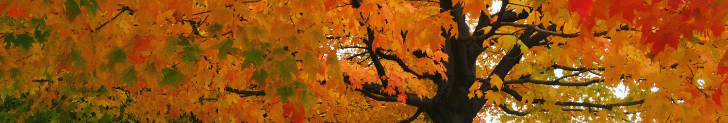
Four years later, I realized I never wrote about a quick spring visit to Turkey Run State Park in Indiana. Luckily for anyone who finds this, I don’t remember much detail.
What I do remember:
There were warning signs everywhere about “drownings have occurred.” Sure, but that wouldn’t happen to me, am I right? The first sign was on the sandy bank of a tranquil stretch of river. I was not fooled.
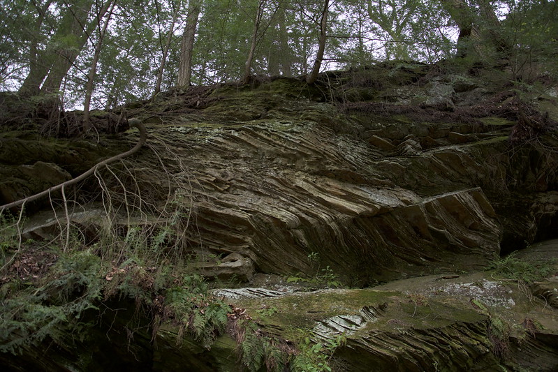
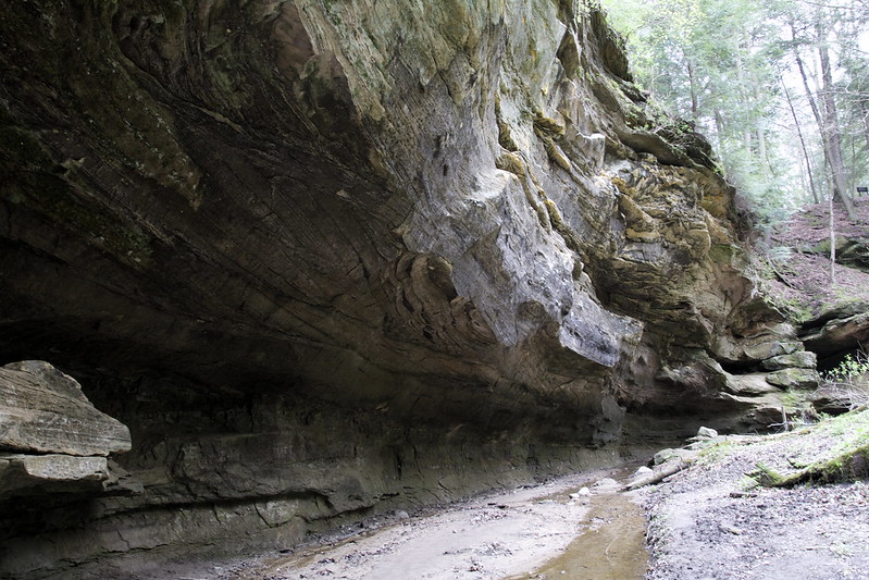
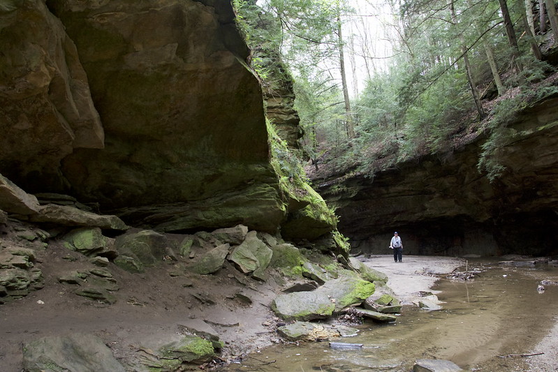
Parts of Turkey Run State Park look like Starved Rock State Park, but instead of St. Peter sandstone, it’s Mansfield sandstone.
Not far from the Lieber Cabin, I found many amazing rock formations, including some that tilted, some that were glassy smooth, and some that glowed under the overcast sky (not that kind of glow). I don’t get out much and had never seen anything like them.
In this same area, we heard barred owls calling (“Who cooks for you? Who cooks for you all?”) The folks at the Nature Center seemed happy to hear this.
We found out there’s a Turkey Run Inn. We may have eaten there. I can’t remember, but there’s evidence I raided the gift shop.
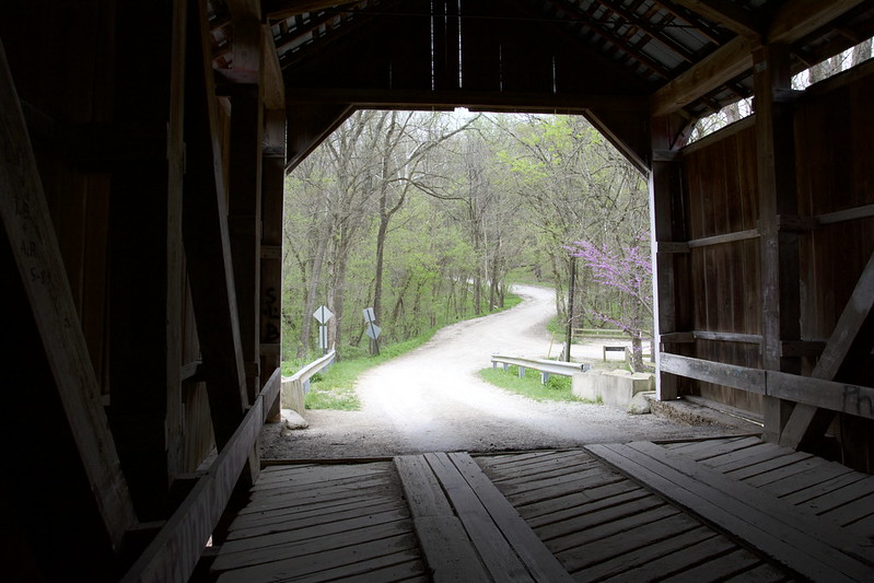
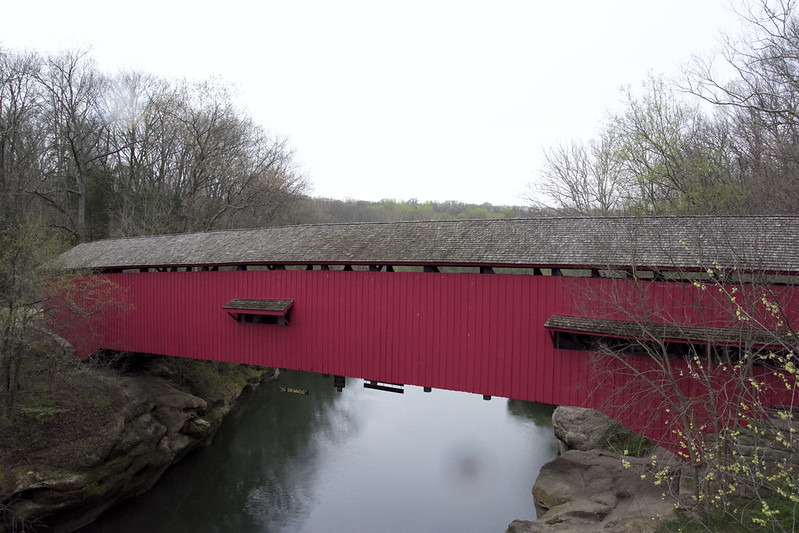
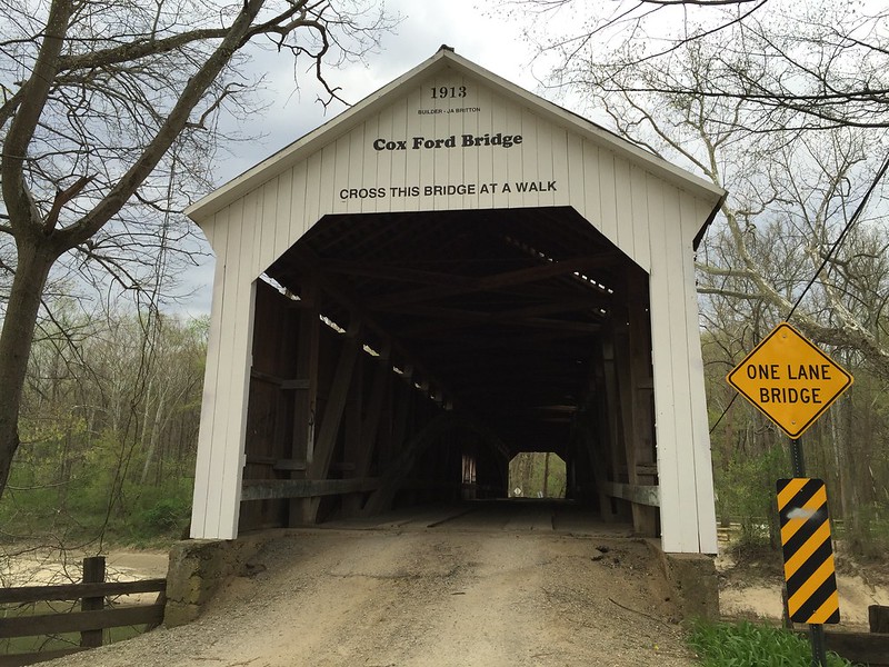
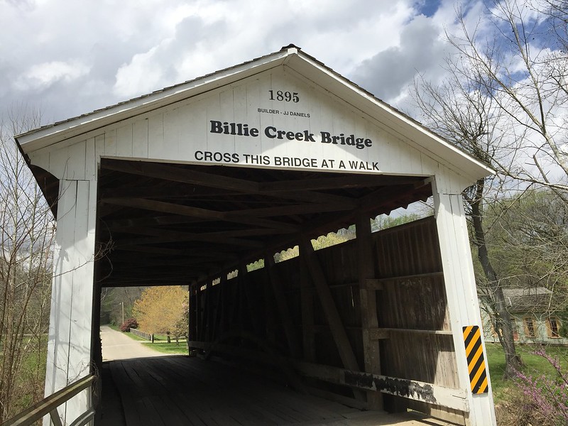
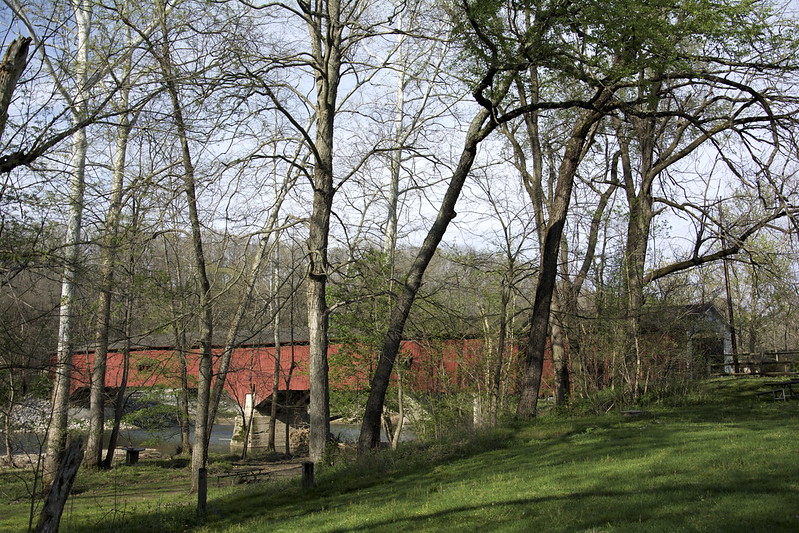
I think someone mentioned there are several covered bridges in the area, so we visited as many as we could. Most are walk-through only. Billie Creek Bridge is the only one we drove across.
Rocky Hollow–Falls Canyon Nature Preserve “contains deep sandstone canyons.” I wish there’d been time and energy to go farther (I always say that). This area most resembled Starved Rock.
Rocky Hollow–Falls Canyon features Wedge Rock, which looks like a tilted flatiron. Glacial erratic? I wouldn’t want to stand under it for long.
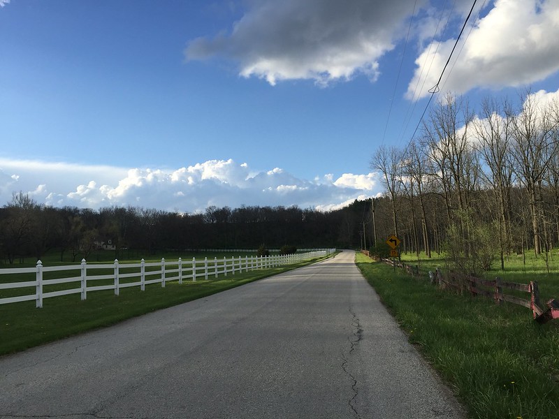
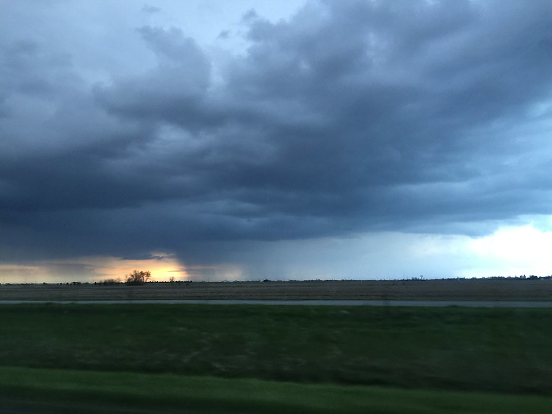
Toward the end of the second day, we made a quick stop at Shades State Park but didn’t see much. Then we headed back down sunny country roads as the weather soon turned threatening.
Some but not all of the stops according to the Swarm app:
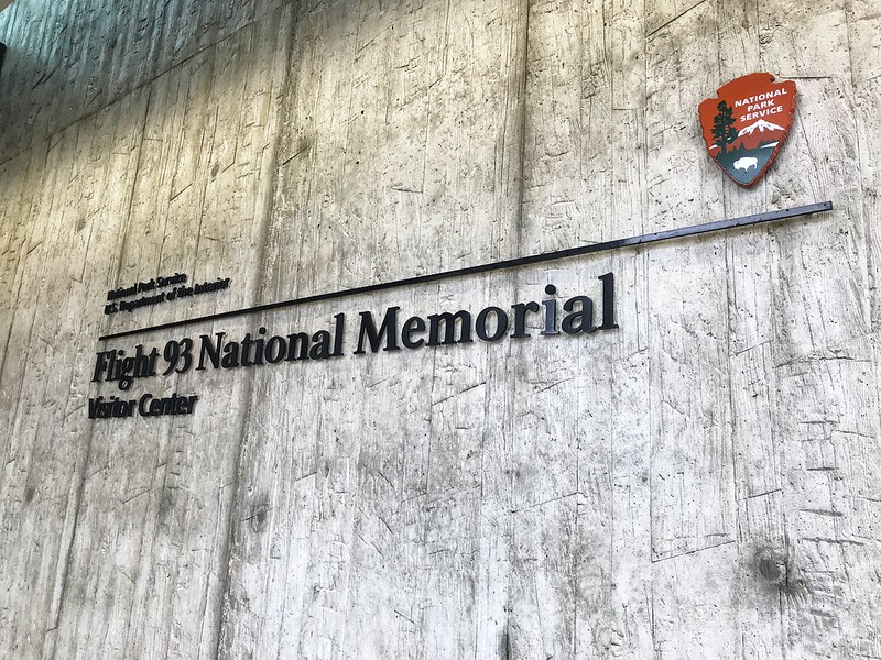
On my last full day in Pennsylvania, the 28th, we went to the Flight 93 National Memorial despite the government shutdown. Our route took us down Lincoln Highway, which crosses the United States. It passes through Illinois in the far south suburbs of Chicago. Lincoln Highway reminds me that all of us are connected in some way.
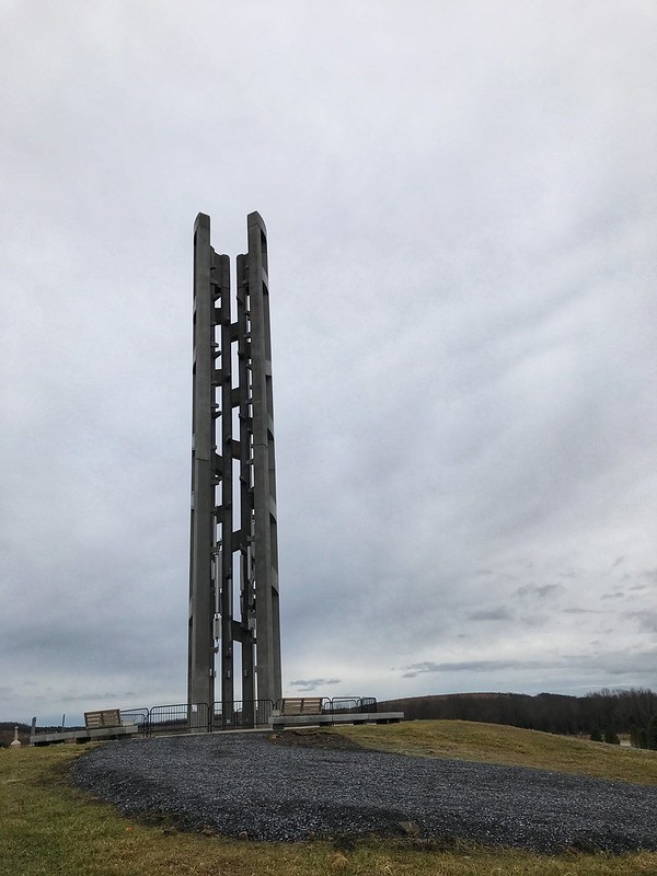
We arrived first at the Tower of Voices, which with the surrounding landscaping are a work in progress. When completed, there will be a chime for each crew member and passenger on Flight 93 — 40 in all. At this time, there were eight if I recall correctly.
Tower of Voices under construction
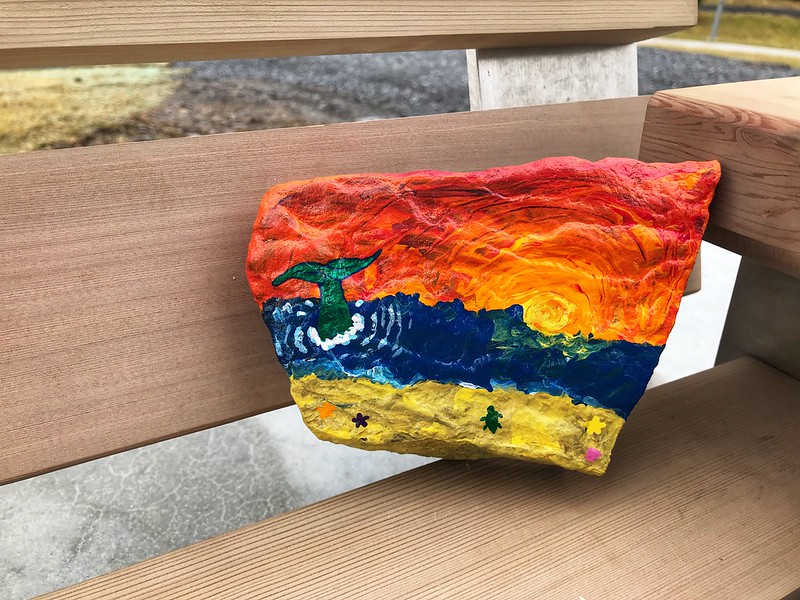
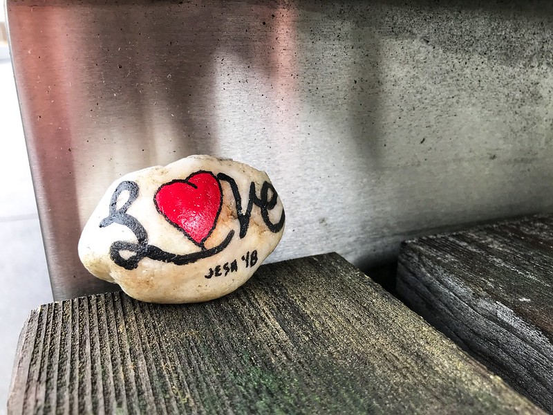
On a bench near the Tower of Voices, we found a “Painted Rock of Pennsylvania.” This is a thing I must look into. I loved this one.
The memorial site is a few miles off, with some farm buildings and wind turbines the main signs of habitation. Before 9/11, the residents of Shanksville and environs could not have imagined visitors from around the world making pilgrimage to their community a half hour south of Johnstown.
The site, which is large, was once a surface mine, stripped of most trees and since replanted. Due to the shutdown, the date, and possibly the gloomy but unseasonably warm weather, there were some but not many people about. We took our time walking to the wall where the names are inscribed, passing the large sandstone boulder that marks the area where the plane came to rest — violently. Someone had left flowers by a few of the names in the wall.
Sandstone marker
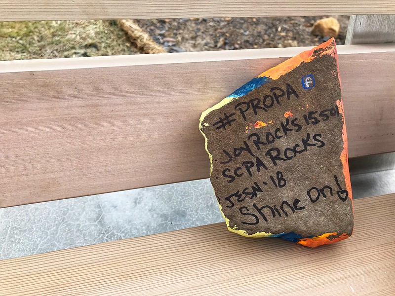
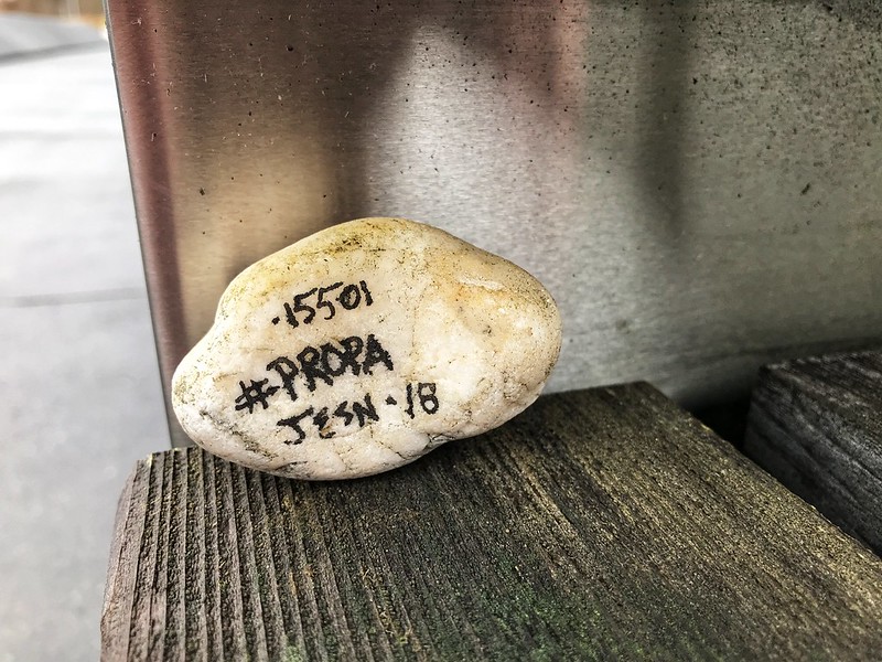
We found another Painted Rock of Pennsylvania on a bench along the way.
I found out via the Facebook hashtag #PROPA that the artist hadn’t expected them to be found until spring. I left both for others to find.
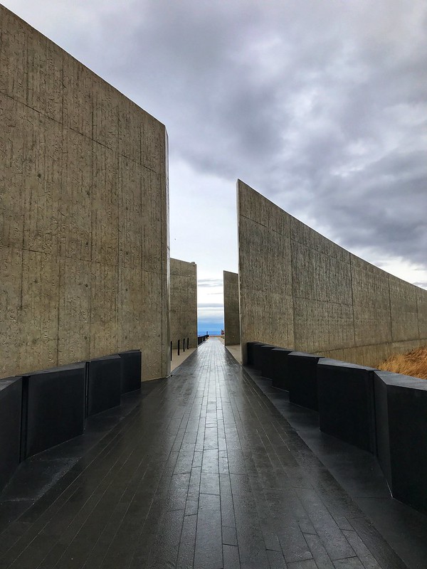
On the way back to the parking lot, we looked at some graphics, then drove to the visitor center. The high walls, marked with the hemlock lines that are the prevailing theme even in the sidewalks, show the path the plane took. In this case, the design’s simplicity adds to the solemnity of the place and inspires the imagination, especially when you remember this horrific event took place on a perfect sunny day in the waning summertime.
The walk between the walls marks Flight 93’s path
The visitor center was closed, of course, but we could see quite a bit through the glass. I wouldn’t have wanted to eavesdrop on those final conversations even if I could have.
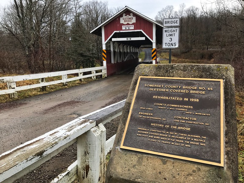
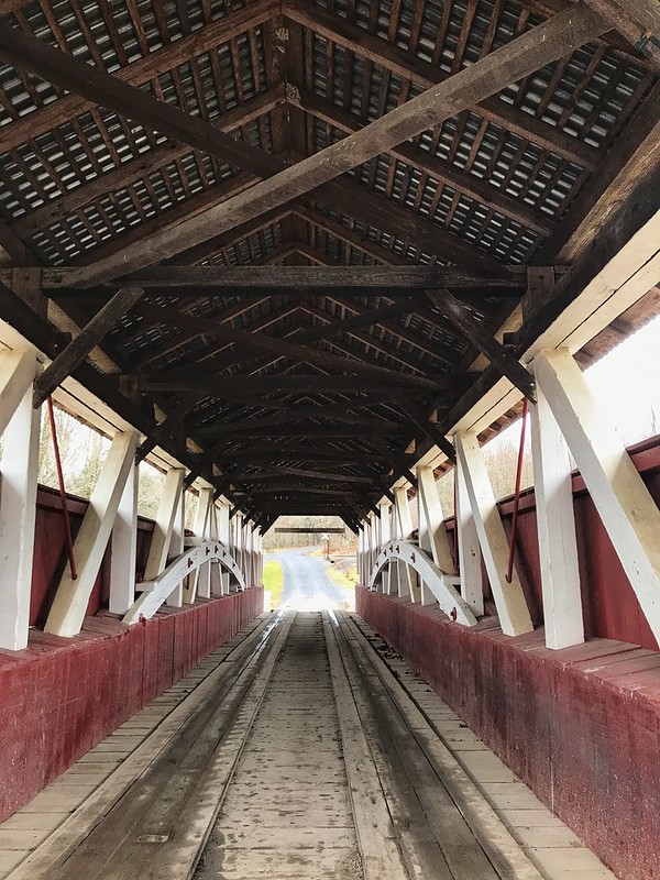
On Lincoln Highway, I’d noticed signs for two covered bridges that didn’t seem to be far off — two or three miles, more or less. The first, Glessner Covered Bridge, was down a well-maintained dirt road — not too rutted. The covered bridge is lovely, with a barn on one side and railroad tracks that parallel the stream on the other. The stream is known as either Stony Creek or Stonycreek River. The latter seems redundant. It’s either a river or a creek, but neither is a clearly defined term.
Glessner Covered BridgeGlessner Covered Bridge leading to a railroad crossing
The generous landowner at Glessner covered bridge has posted signs — not the usual “Private,” “Posted,” “Keep Off,” etc,., but signs inviting you to enjoy a little fishing if you’re so minded. I call that right neighborly. It would be a lovely spot to fish in the warmer months.
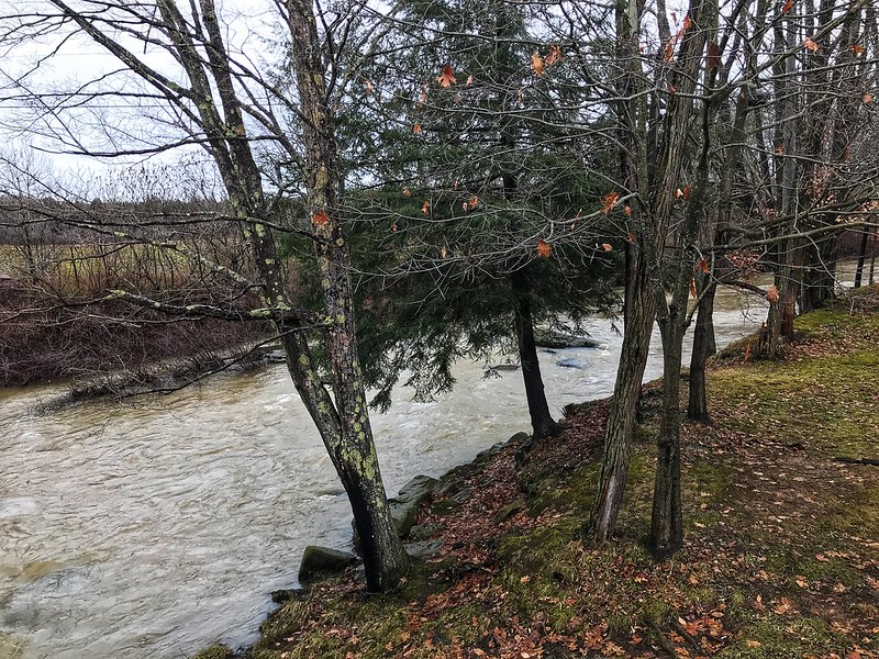
Stony Creek or Stonycreek River, tributary of the Conemaugh, open here for fishingGlessner Covered Bridge on Google Maps
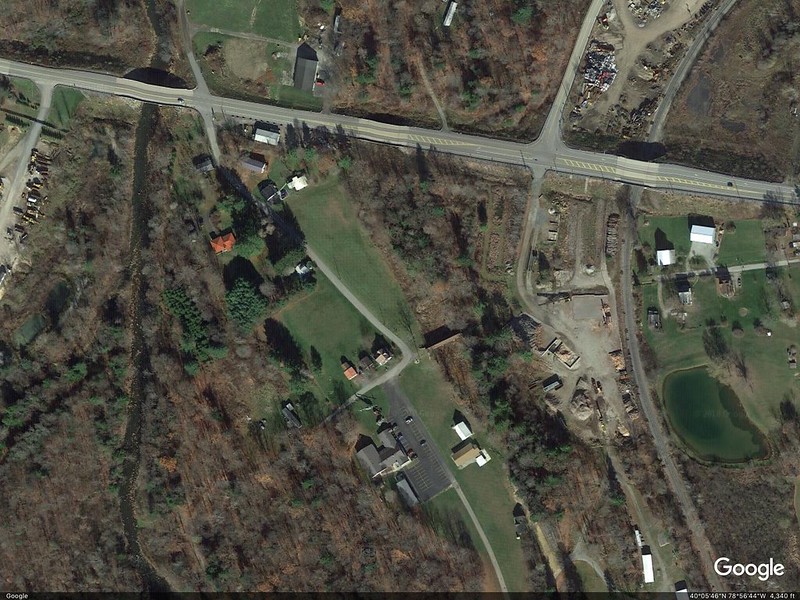
To get to Trostletown Covered Bridge, we passed Stoystown Auto Wreckers, quite possibly the largest junkyard I’ve ever seen — acres and more acres of junk cars at the bottom of rolling hills. As I recall, the Google Maps capture shows only a portion of the junkyard. Today — unsightly metal carcasses. Yesterday — bucolic covered bridges.
Google Earth image shows the size better.
I’ve read in several places that Trostletown Covered Bridge passes over Stonycreek, or Stony Creek River(?). I use a question mark because Google Maps shows Stony Creek River west of the bridge. I wonder if what we saw is a little offshoot — it doesn’t even appear on Google Maps in blue.
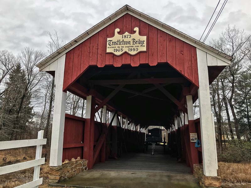
Trostletown Covered Bridge
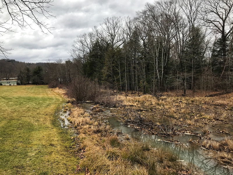
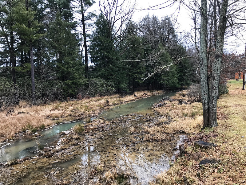
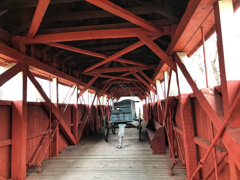
The water, wherever it comes from, doesn’t quite flow freely under Trostletown. It was low and in many places choked with plants and earth. Unlike Glessner Covered Bridge, which is open to cars, Trostletown doesn’t seem to lead anywhere, but ends in a seedy and weedy area. I’d want to plant a butterfly garden with benches there.
I teased my cousin’s wife about driving across the Trostletown Covered Bridge, but she’d already noted it goes nowhere. I drew their attention to another deterrent — a Conestoga wagon blocking the way.
Trostletown Covered Bridge
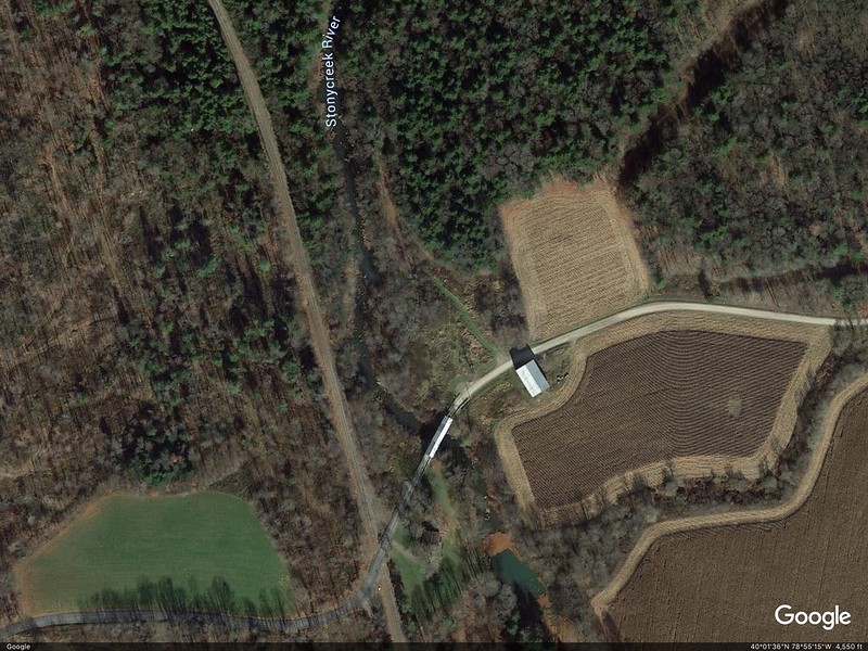
Google Earth shows Trostletown Covered Bridge to your right from the bend in the road.
Trostletown Covered Bridge to your right of bend in the road
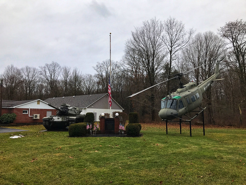
Trostletown Covered Bridge and the Conestoga wagon are not the only remnants of history here. Kitty corner from the covered bridge the Stoystown American Legion post features a tank and a helicopter positioned to nosedive into the ground. I read elsewhere it’s a Vietnam-era Huey.
Stoystown American Legion
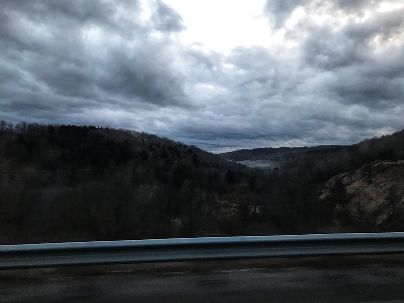
On the way to and back, mist smothered and covered what lay in the hollows, often following the meanderings, we thought, of streams and rivers. You can’t quite capture it from a moving vehicle.
Late morning/early afternoon mist in the valleysEvening mist in the hollows
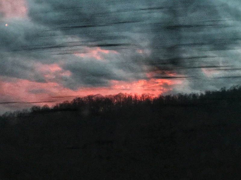
Although the day had been gloomy, there was one brief hint of life and color as the sun appeared while making its daily disappearance.
A brief splash of color at last
Days like this make leaving harder than it already is.